

Note from author: This post was originally written in 2012. We’ve visited this area several times in the last few years so I’ve updated some of the story and pictures. I’ve also posted additional pictures beneath the menu Road Trip Pictures and Post Cards titled Chuckanut Pictures. Enjoy the Journey.
“CHUCKANUT”……….Huh? I know, I know, you’re thinking what the heck is a “chuckanut” and what does it have to do with traveling……….? Let me tell you, I had that same thought. I’d never heard of the term “chuckanut” until a couple of months ago. Then, one “evening” after supper, when Becky and I were in our strat-o-loungers pretending to watch TV, but in reality we were taking a nap, one of those “after the news” programs had a spot on the “Chuckanut.” Fortunately, I was just dosing and I caught the program… Yes, I found out what the “Chuckanut” was! It’s a road…! And…, what are roads made for? That’s right… to travel on.! So Becky and I planned a 3 day 2 night trip to the land of the “CHUCKANUT.”
As we get older I find that we really become routine in some of the things we do. I know Becky is going to say, “You might be getting older but I’m not and I’m surely not in any routine!” Hmmmmm…. My point is that we do get comfortable with the things we do routinely. It might be something we do daily, weekly, monthly, yearly….. It just seems to make life a little more easy and comfortable, and after years of traveling our routine has been to stay at Best Westerns Motels. They have a wonderful guaranteed reservation system, discounts for AAA and AARP, and clean and comfortable rooms. Some Best Westerns offer an afternoon snack upon arrival (cookies, soup, etc… ) and a breakfast before departure. What we really like about staying at a Best Western Motel is their reward system. You earn points that can be used for free night stays and they have promotions periodically; like stay 2 nights and get 1 night free. Do you see where I’m going with this…? That’s right we had a couple of free nights at any Best Western of our choice, so I started to plan our trip to the “Chuckanut” around the motels available and….. our comfort zone.
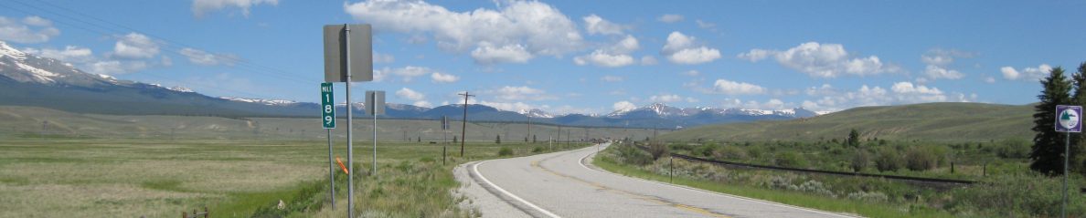
For you armchair navigators, the trip started in Southwest Washington heading north on I-5 to Bellingham, WA. From there we travel south along Chuckanut Drive to Whidbey Island and Oak Harbor, WA. With a short ferry ride from the island to Port Townsend we continued back home via Hwy 101, along the Hoods Canal, to Olympia, WA, catching I-5 south to home.
We decided to drive the “Chuckanut” from the north to south, hoping to stay on the north end of the drive the 1st night, and the southern end on the 2nd night. Not surprisingly, the Best Western Motel chain had accommodations where we needed them. One in Bellingham, which is the northern end of the “Chuckanut”, and in Oak Harbor, WA, which is on the southern end of the drive. Above, at the beginning of the post, is a map of the “Chuckanut” and the route we traveled from Bellingham to Port Townsend.
For those of you who have been reading our blog, I hope you noticed that this map is readable……..!
So, with that, as Jackie Gleason would say, “And away we go………..”
We decided to leave about noon on Friday afternoon. We figured this would get us through all the rush hour traffic in Tacoma and Seattle.
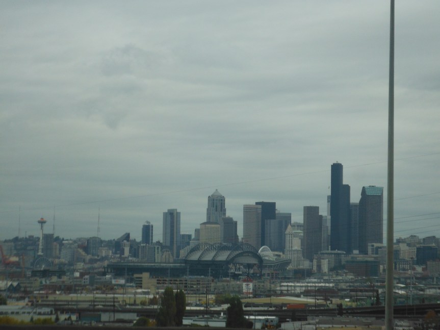
Our plan had worked and the traffic wasn’t bad at all. We were able to cruise right along in the express lane with no problems. The co-pilot, Becky, took the picture above through our windshield as we were coming in Seattle. For those of you who aren’t from Washington or familiar with Seattle, the Mariner’s baseball field, Safeco Field (better known as the Safe) is in the foreground with the Seahawks stadium, Century Link Field (better known as the Clink) right behind it. To the left is the iconic Seattle Space Needle.
We continued north on I-5 without any major traffic problems until we were about 2 miles from our exit in Bellingham. Having written the manual for the Paul McFadden School of Driving, I knew I could, and I did, drive over to and down the shoulder to our exit in a expedient manner. Looking in my rear view mirror, I noticed, as the lead lemming, I had a herd of lemmings following me over the cliff…. I mean to the exit. Ah, we made it to our motel.
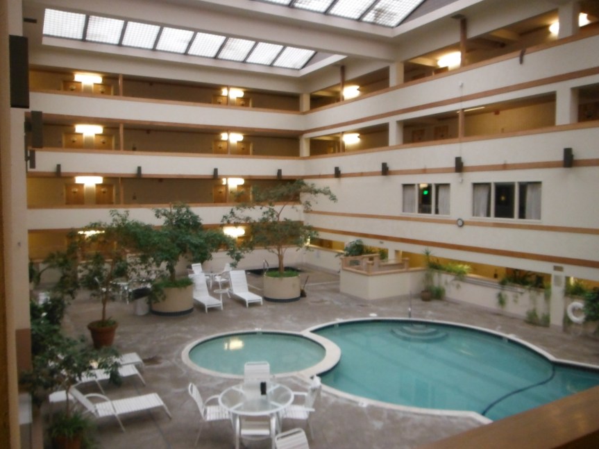
Our motel was great. It was close to the interstate and where we were headed the next day. It had a big indoor pool area, 2 eateries – 1 restaurant, 1 restaurant and lounge with an outdoor heated seating area, and there was a coffee stand also. One thing we really liked about this motel was the bed. It was one of those foam filled, form fitting, mattresses. Boy, we both really slept great! It was a very nice place and the staff were very helpful giving us directions to the closes Starbucks and how to get to the “Chuckanut.”
The next morning, Saturday, we got up and discovered the weather was grey and rainy. We headed to downtown Bellingham and Starbucks.
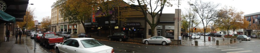
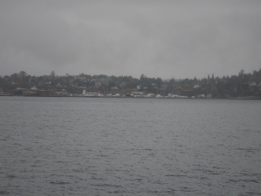
The downtown area of Bellingham (picture above) was really nice, with easy directional traffic flow, and lots of parking. I’m guessing the parking is free in the downtown area on the weekend…. we didn’t put any money in the meter and it didn’t appear anyone else was either. After we got our coffees, we poked around Bellingham awhile. I’m sure on sunny days the overlooks of Bellingham Bay are beautiful with the San Juan Island in the background…..? But, as you can see from the pictures below the weather wasn’t going to permit us to see much, so we headed for the beginning, or northern end, of the “Chuckanut.”
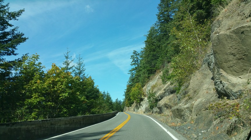
State Route 11 (SR 11) is 21.28 miles long (Scroll up to map) and is named Chuckanut Drive for the entire route. SR 11 has been part of the state highway system in Washington since 1895 when it became a state-maintained roadway. In 1905 it was designated as SR 6 and in 1913 the road became part of the north – south Pacific Highway from Blaine, WA to Vancouver, WA. In 1923 the highway became SR 1 and in 1926, when the U.S. route system was formed, the Pacific Highway became US 99. In 1931 an inland bypass was built and the Chuckanut Drive became US 99 Alternate. In 1967 I-5 replaced US 99, leading to the removal of the US 99 Alternate designation and in 1970 SR 11 designation went into effect for the Chuckanut Drive.
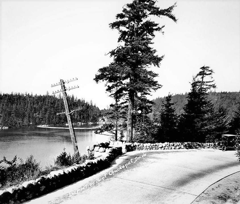
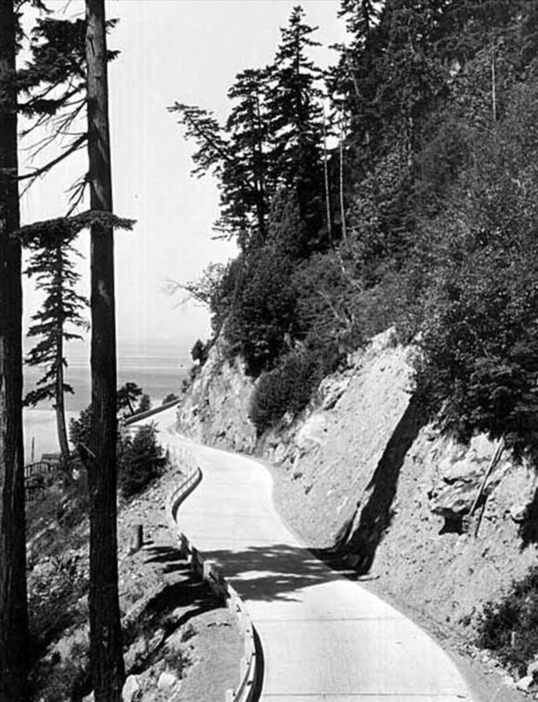
The Chuckanut is made up of two different sections of highway. The northern section includes overlooks of Bellingham Bay and winding roadway along the rock shoulders of the Chuckanut Mountains. The road follows the shoreline a couple of hundred feet above Samish and Chuckanut Bays, with views of the San Juan Islands and the Olympic Mountains, which we didn’t get to see because of the rainy and cloudy weather. The southern section of the highway runs through Skagit Valley. The valley is wide open farmlands located on the delta of the Skagit river.
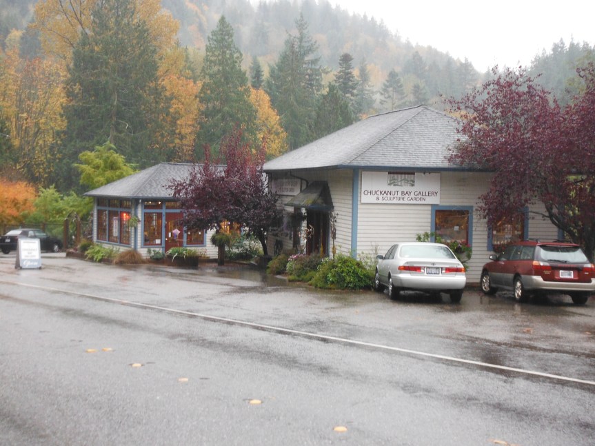
As we left the population of Bellingham and community, we came across a little local artisan store (see the picture below) with arts and crafts made by local artists and craftsmen. It was a nice stop and we got a lot of information about the local area, people, and Chuckanut Drive. Yes, I did buy 2 really cool refrigerator magnets along with 2 beautiful painted / printed note cards of the San Juan Islands. One of the cards remind me of the Apostle Islands in Lake Superior – Wisconsin. At any rate it was a good stop and the gals who ran the shop were extremely nice.
One of the reasons Becky and I wanted to make this drive at this time of year was because of the fall foliage…. the tree leaves turning…. all the fall colors. A couple of years ago, we drove down along Hoods Canal this time of year, and the maple trees were beautiful with fall colors. Leaves were falling and lying along the highway…..whipping up as we drove by…. it was really beautiful but of course, it was a clear, sunny, cool, dry day……. As it turned out, we did picked the right time of year for the fall colors to drive the Chuckanut, as you can see from the pictures below.
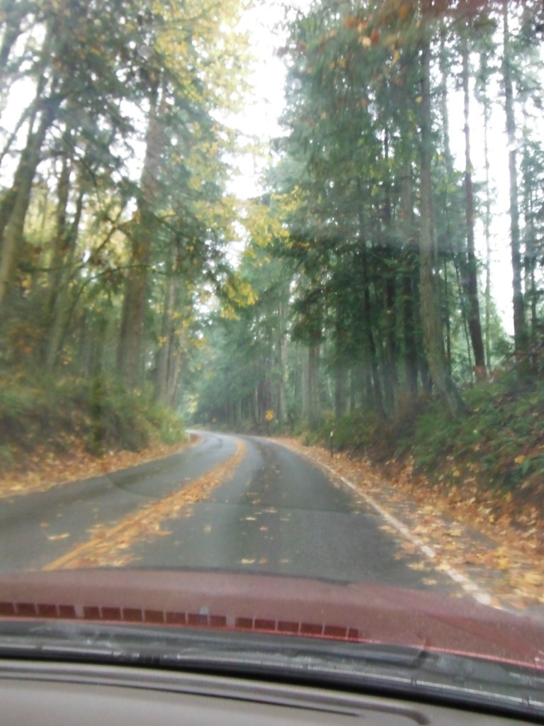
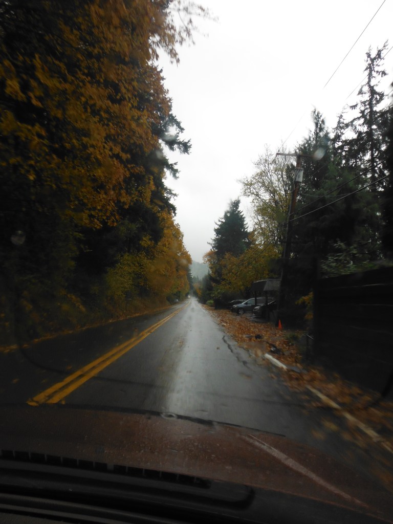
OK, OK, I know you can only look at so many blurry pictures taken from the passenger seat of a moving car, but I wanted you to get the idea that if it were a clear, sunny, cool, dry day, the leaves in the trees would have been falling, and the leaves along the road would have been whipping up as we drove by…….. But…., even with the typical northwest rainy weather we encountered that day, it was still a beautiful drive.
We pass through the Chuckanut Community Bay that has a quaint oyster restaurant and a establishment to purchase oysters. Everything was closed up so we didn’t stop.
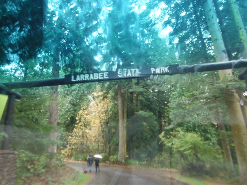
One of the interesting things we encountered was that the Chuckanut Drive passes through Larrabee State Park. It is the oldest state park in Washington.
I don’t want to keep harping about the weather, but…… the picture above was taken during a rain downpour…. the windshield wipers couldn’t keep up with rain. The photographer wanted to stop to take the picture but the driver wouldn’t…………. hmmmmm…. so you get a picture that looks like this.
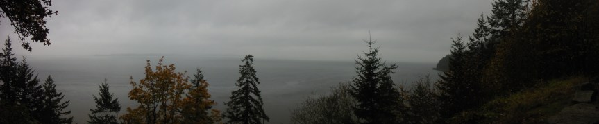
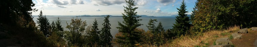
This is one of the stops and viewpoints (pictures above) along the highway with the beautiful San Juan Islands in the distance…..What? I don’t see any islands? Well, believe me they’re there. I’ve seen the postcard!
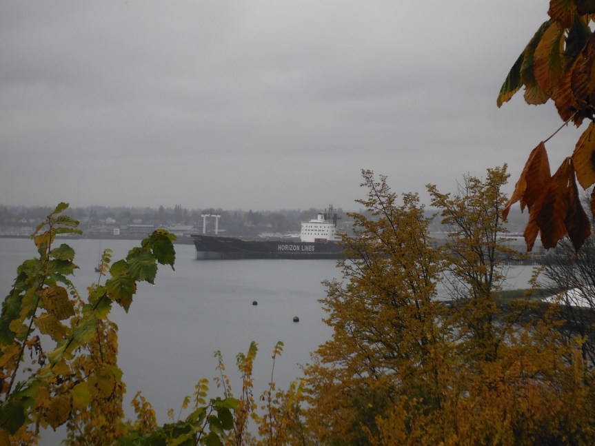
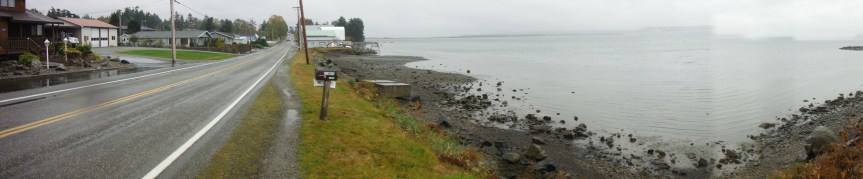
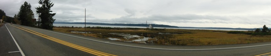
We came out of the Chuckanut Mountains and into the Skagit River delta, or the southern section of Chuckanut Drive. We stopped along the waters edge at Blanchard and took the picture below.
At this point we decided to head to Whidbey Island by way of the communities of Edison and Bay View and highway SR 20. Our route is marked on the map that is at the beginning of this written adventure.
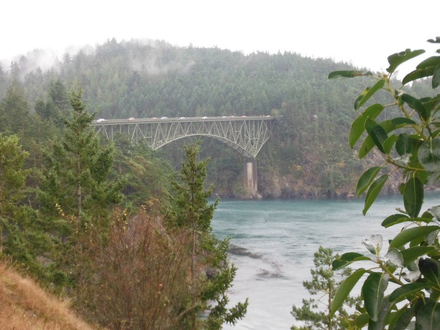
Getting onto Whidbey Island you have to crossover the Deception Pass Bridge. It’s one of those places that no matter how many times you’ve seen it, you have to stop and look at it again. It truly is a wondrous spot on the map. A narrow waterway pass with tidal action that will stop and even push a boat back. There are places to park before and after the bridge to take in the views. You can even walk across the bridge or enjoy the beauty and engineering feat of the structure from vantage points in parks on both sides and below the bridge.
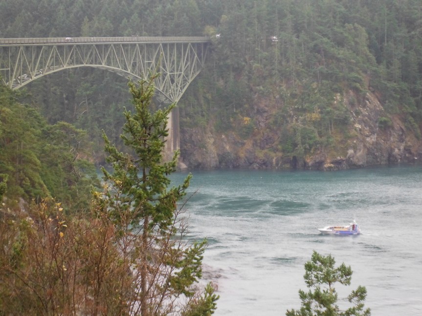
One of the things I noticed while we were looking at the bridge and surrounding area was the tourist boat (you can see it in the water in the 2 picture above) making runs at the tide to pass under the bridge. I watched it make 3 runs at it…… it never made it….. The picture below shows the boat with it’s tail between it’s legs and heading home.
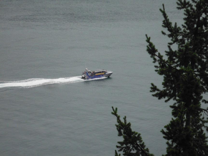
Having said that, it’s pretty cool there’s a tourist boat to take you through the pass and under the bridge……….. If you like that kind of stuff.
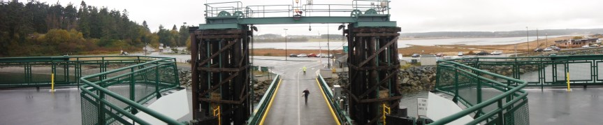
We made it to our motel in Oak Harbor early afternoon. Another nice Best Western. The young man working the front counter suggested, and help me, make reservation for the state ferry we were taking the next day….; which we made. We got checked in, took our luggage to our room, and headed out to explore the island.
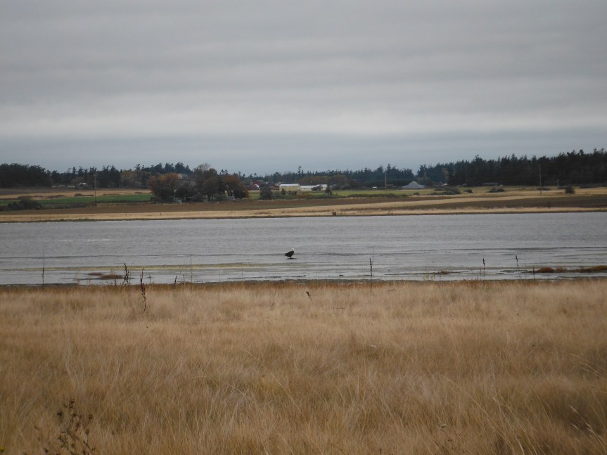
Our 1st objective was to go to the ferry dock outside of Coupeville, where we would catch the ferry the next day. We wanted to time how long it would take to get there (40 minutes) and to see if there any were weird routes that had to be taken to get to the terminal… There were but it wasn’t a big deal. As we passed through the delta to the ferry dock, Becky spotted a bald eagle standing on a small sand bar. We stopped and took a couple of pictures.
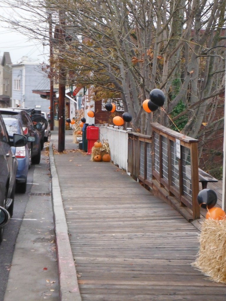
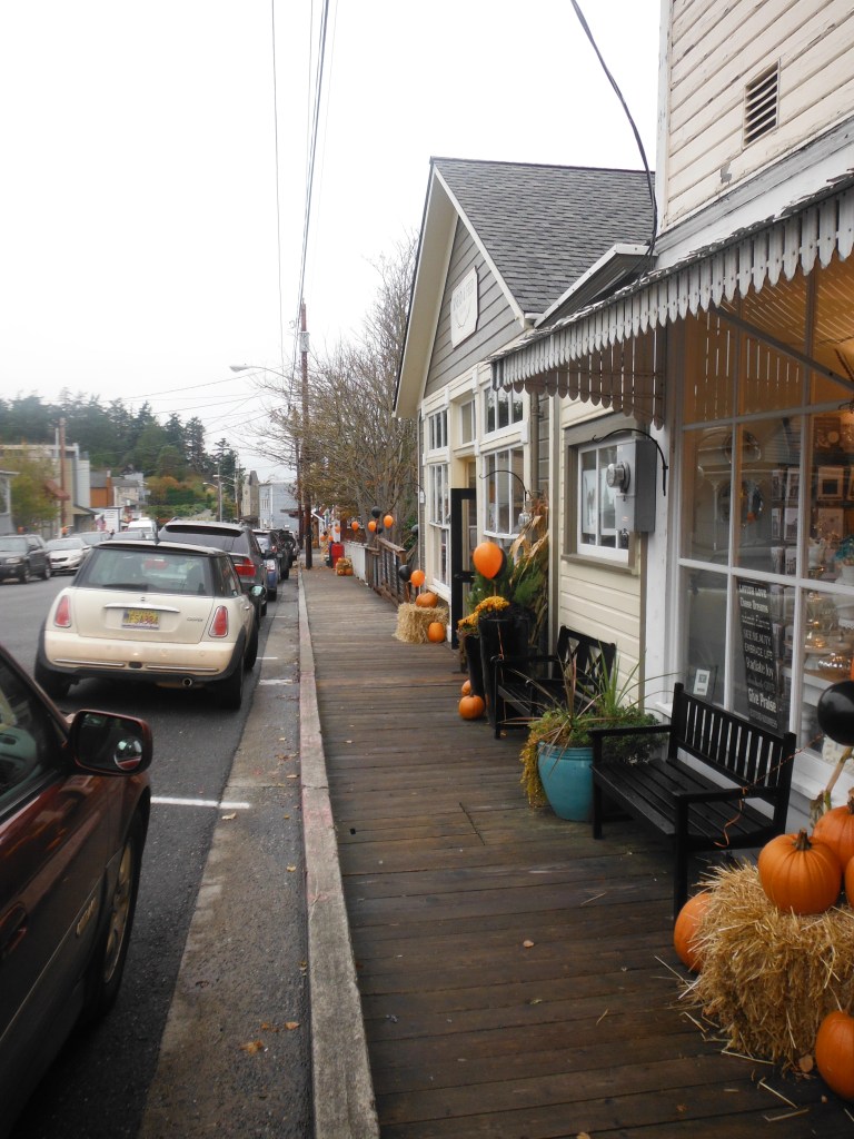
As we headed back to our motel we stopped at Coupeville. This 3 day trip was the weekend before Halloween and the downtown merchants of Coupeville were decorated and ready for all the little ghost and goblins to come and “trick or treat” them. As you can see by the picture below they went all out for the event. Coupeville is a picturesque place. Kind of reminded me of a Mayberry of Northwest.
We continued back to Oak Harbor and our motel. We stopped at an Estate Sale…. didn’t buy anything. We did stop at Dairy Queen and bought Blizzards. That evening we went out for Chinese.
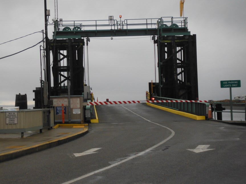
The next morning we had a wonderful breakfast at the motel, checked out, and headed to the ferry terminal.
We boarded the ferry for a 30 minute ride to Port Townsend (see the map at the beginning) and set sail arriving without any problems or delays.
Waiting for the ferry to arrive.
On board the ferry overlooking the terminal
Departure
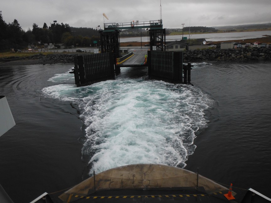
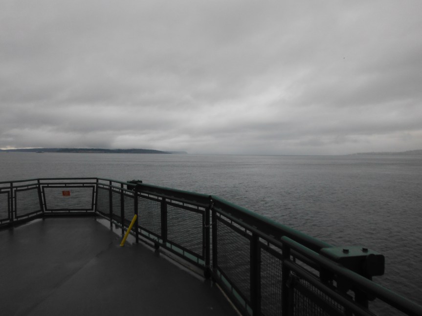
Passage to Port Townsend
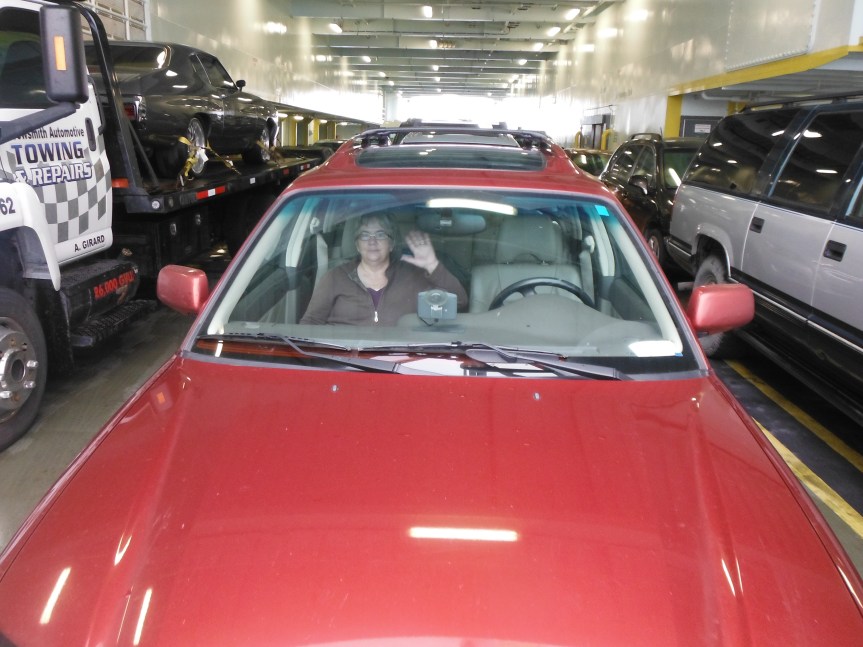
Enjoying the ride and view…. not really… she’s playing “Words with Friends.”
The crossing is almost completed
Port Townsend…. Ahoy!
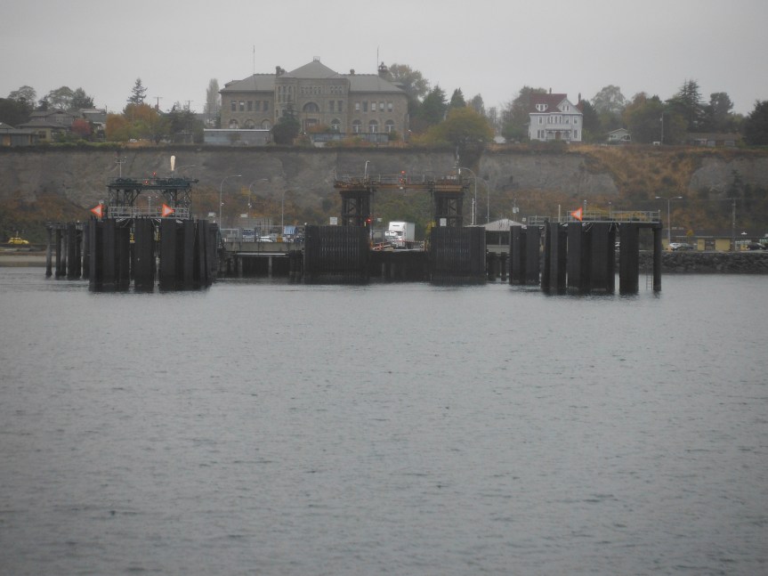
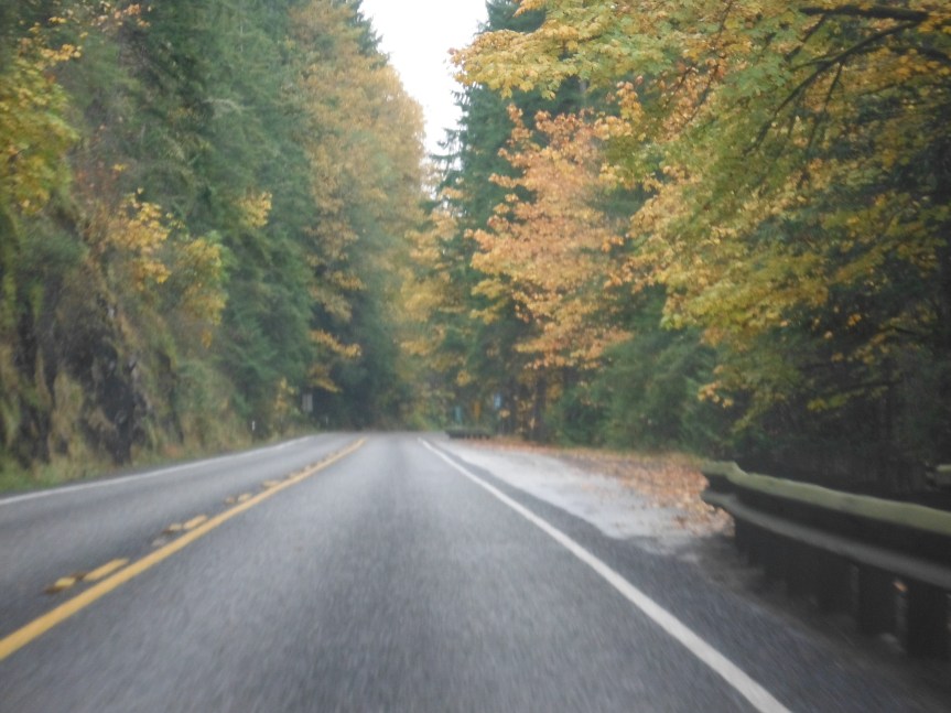
We arrived in Port Townsend a little before noon and headed south on our final leg of our road trip. Taking SR 20 to US 101 and home along the Hoods Canal. The pictures below is on Hwy 101 north of Hoods Canal. The fall colors were beautiful.
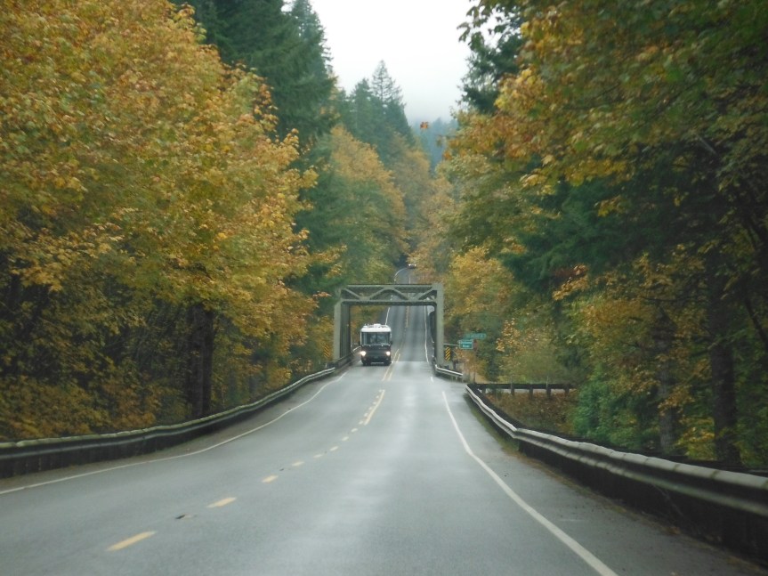
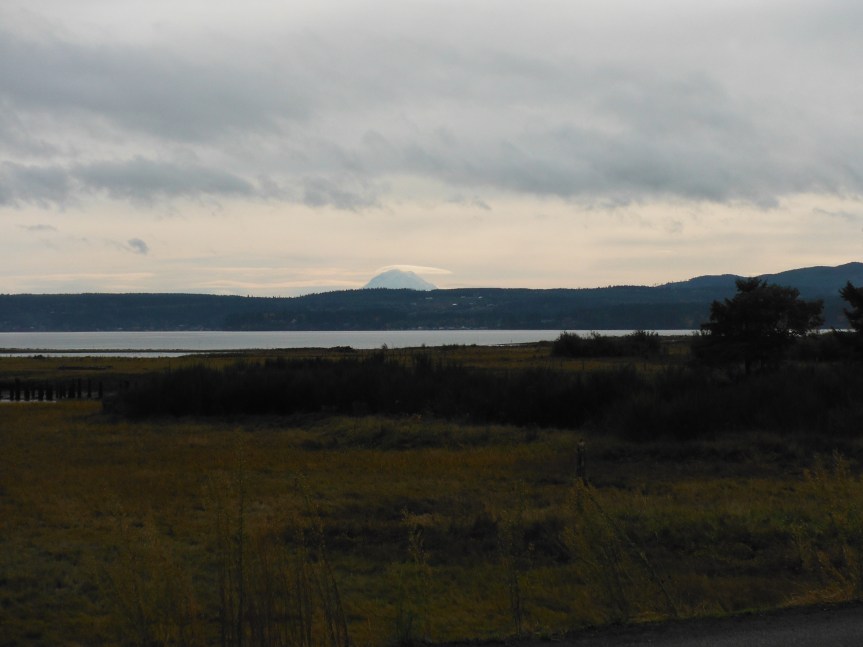
The pictures below are along the north end of the canal before the small community of Brinnon. That’s Mount Rainier in the background in the big picture.
Our last stop was at the Lucky Dog Casino below the town of Hoodsport at the south end of Hoods Canal. We ate lunch at their sport’s bar (they have really good food and serve big portions) and then we partook in some of the gaming activities they offered….and that’s not “Words with Friends.”
All in all it was a really nice road trip. Yes, the weather could have been better, but you know, that gives us the excuse to do it all over again…………………
Note from author: This really was a nice road trip…even with the typical Pacific Northwest weather. But, since we took this jaunt, we’ve visited this area several times in the last few years, so I’ve also posted additional and new pictures beneath the menu Road Trip Pictures and Post Cards titled Chuckanut Pictures. Enjoy the Journey.

What a magnificent journey! Thank you taking us along.
LikeLike